Fast Facts
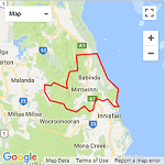
Catchment Profile
Explore the natural and social characteristics of the Russell and Mulgrave Catchments in these interactive story maps.
WetlandInfo
Additional useful information about the Russell Catchment can be accessed through Queensland Government’s WetlandInfo site, with interactive mapping, NRM data and the widest range of wetland management resources in Queensland.
Average Maximum Temperature: 27-29°C
Average Minimum Temperature: 20°C
Average Annual Rainfall: 2,001-4,000 mm

Gordonvale
Population: 4,420
Elevation: 22 m
Babinda
Population: 1,068
Elevation: 18 m
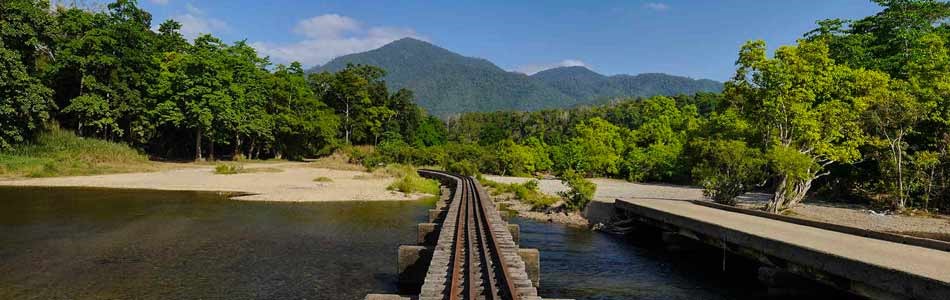
The mighty Mulgrave and Russell Rivers, the dramatic mountain peaks and surging waterways of this Local Landscape provide a perfect contrast to the serene coastal townships and farmland.
Framed by Queensland’s two highest mountains, Mt Bartle Frere and Mt Bellenden Ker, lies the small sugar town of Babinda; further north, the equally distinctive Walsh’s Pyramid provides a backdrop to the township of Gordonvale.
This region certainly receives its fair share of rain each year, with a friendly rivalry between Babinda and Tully, further south, for the title of Australia’s wettest town. By the end of the summer wet season, the tropical rivers of this local landscape are full to bursting and floodplains are inundated with water. In some of the nearby mountain ranges, up to 12m of rain can fall in a single year!
Natural Landscapes
Freshwater ecosystems
The high rainfall is vital in supporting significant coastal lowland wetlands and healthy freshwater ecosystems. Many clear, flowing creeks criss-cross the landscape, feeding into the mighty Russell and Mulgrave Rivers. The two rivers meander through the coastal farmland, before they join and flow into the Great Barrier Reef lagoon past Russell Heads. The waterways are the lifeblood of both the natural and farming landscapes, but as importantly, provide identity to the communities.
Natural waterholes
This region is well known for its many outdoor recreational opportunities linked to the spectacular natural landscape and picturesque freshwater swimming holes.
Areas like the Boulders at Babinda Creek, Josephine Falls and the Mulgrave River winding through the Goldsborough Valley provide cool respite for residents and visitors, while surrounded by spectacular and ancient rainforests.
National parks and wildlife
Remnants of important lowland forests and iconic wetlands such as Eubenangee Swamp are protected in National Parks. Extensive past clearing of the flat coastal plains means these parks protect some of the last vestiges of certain forest communities.
Within the landscape, birdlife is prolific. Stately water birds can be seen stalking through wetlands and specialist fruit pigeons forage secretively in the rainforest canopy. Birds of prey circling above farmland take advantage of small animals escaping sugar cane harvesters.
Communities and Culture
Historically developed around sugar cane, the townships of this Local Landscape have mirrored the highs and lows of the sugar industry over the years. Despite the closure of the Babinda sugar mill, cane farms and the Mulgrave sugar mill at Gordonvale remain dominant features in the landscape. Significant impacts from Tropical Cyclones Larry and Yasi on buildings, farmland and natural landscapes had an equally major effect on community confidence. The resilience, strength and adaptability of local communities has shone through, with repairs to the built environment and the emergence of more diversified industries, such as horticulture and tourism.
Although the suburbs of Cairns creep ever-closer to Gordonvale, the small, yet thriving township and community has a strong identity and rich history in its own right. Situated at the base of the Gillies Range leading to the Atherton Tablelands, Gordonvale has always been an important stopping point for travellers and retains its small-town charm and tight-knit community, comprised of a diversity of cultures and nationalities.
Indigenous communities
The Wet Tropics is home to a rich, vibrant and enduring Indigenous Rainforest Cultural Heritage, comprising 20 Traditional Owner Tribal groupings with over 100 clans and family groupings. Over 80 legal entities represent Land People and Culture. Click on the Local Cultural Connections link for more information on the Traditional Owner groups and history for this Local Landscape.